
BLM Proposes Cap on Valdez Heli-Ski Permit Holders
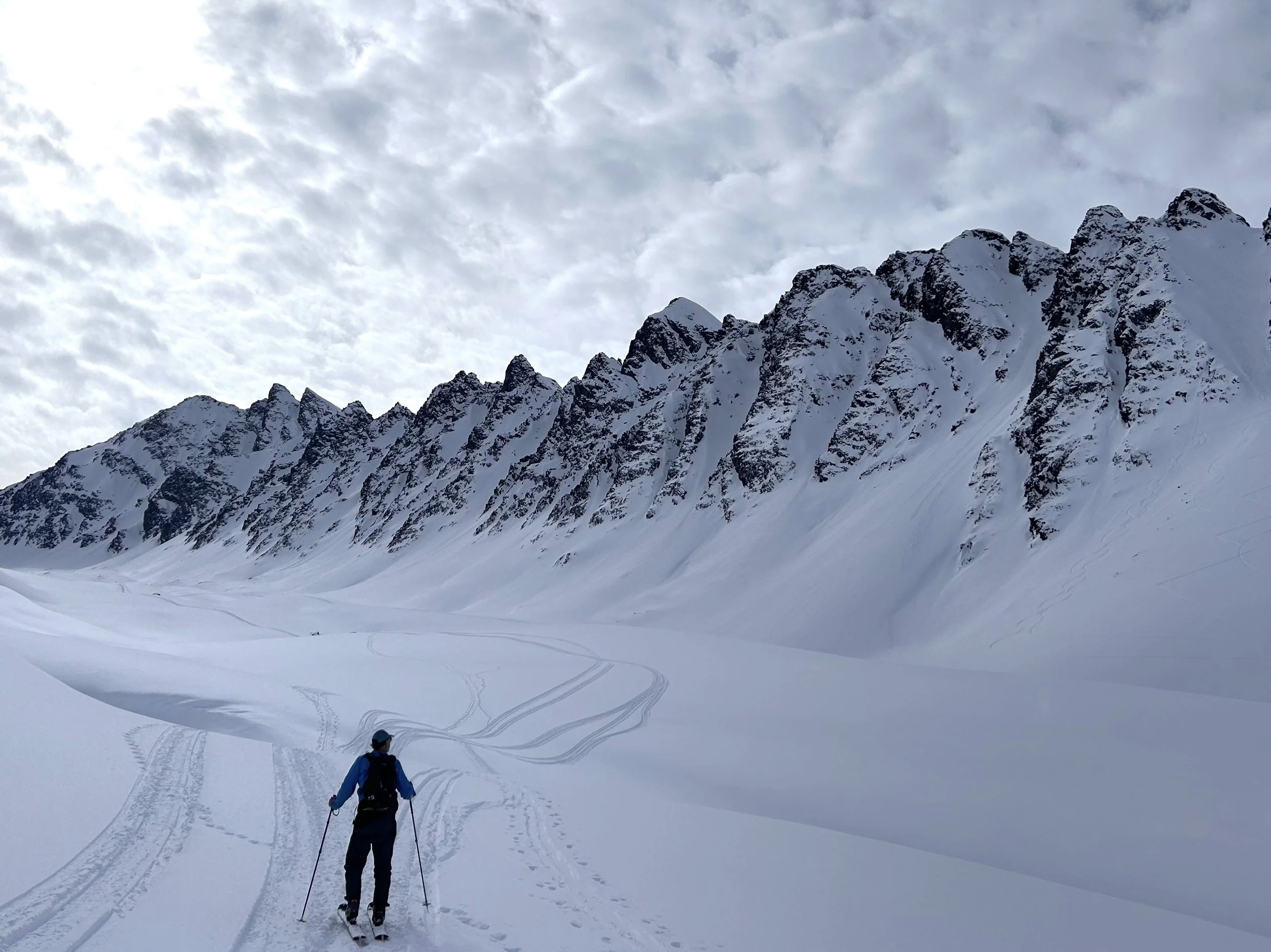
A skier seeks a line in the 40 mile area. Photo by Allison Sayer.
by Allison Sayer
Last month, the Bureau of Land Management (BLM) released a preliminary Environmental Assessment (EA) on Thompson Pass and Valdez Guided Helicopter Skiing permits on BLM-managed lands. The total permit area covers 133,800 acres.
Reevaluating the SRP policy was triggered by the pending expiration of current Special Recreation Permits (SRPs), and the growth of backcountry activity from various user groups over the past ten years. Public comments on the preliminary EA are due September 25.
The EA was produced after a lengthy public process including a meeting at the Valdez Civic Center on March 14 during which participants were asked to identify their use of various areas. An online questionnaire was also available during the scoping process.
As with all public land processes, the BLM identified possible courses of action in the EA. As always, the first alternative is “no action,” which means to continue with no change to policy. There are two other alternatives.
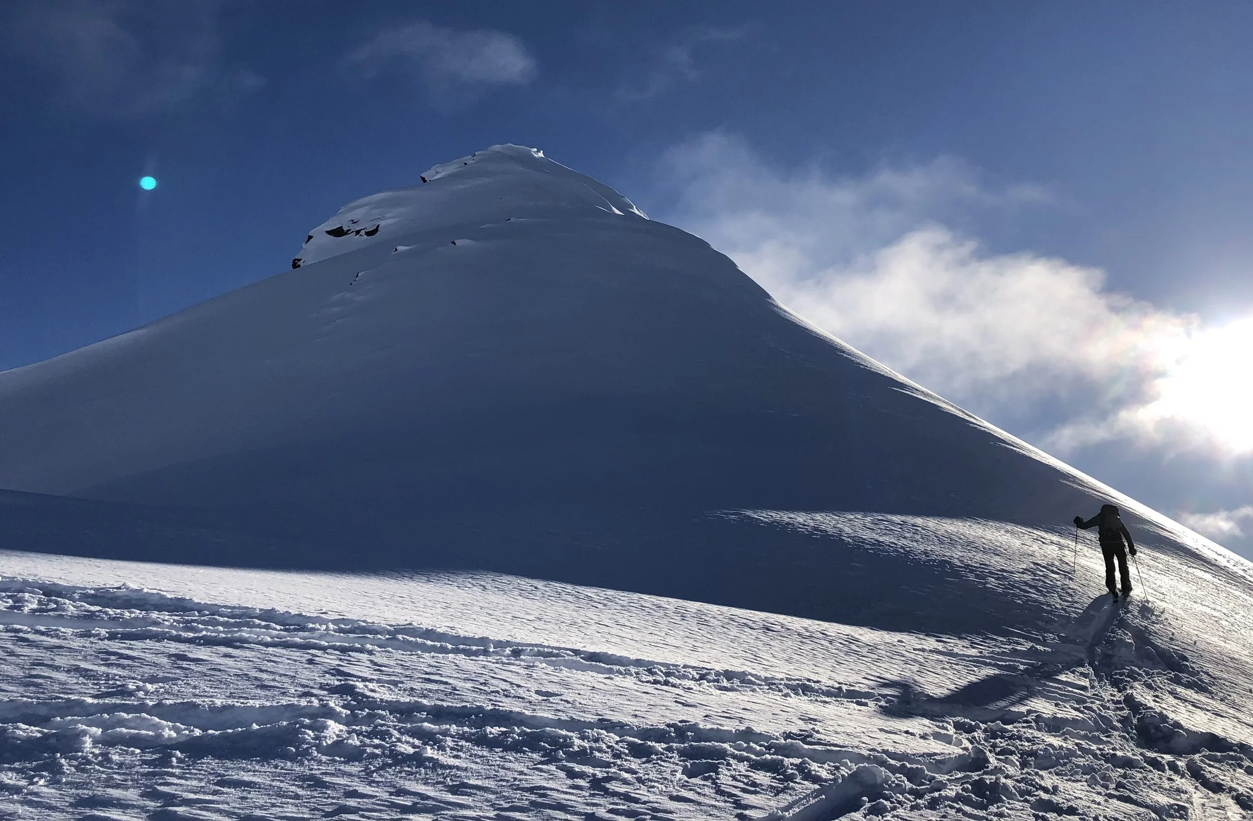
A hiker ascends in the 40 mile area. Photo by Allison Sayer.
Alternative B “would approve up to eight commercial heli-ski SRPs for a term of up to ten years.” The main distinction between Alternative A and Alternative B is that alternative B establishes the precedent of a cap on the number of operators.
In the preliminary EA, the BLM indicated it proposes to move forward with Alternative B.
Alternative C would impose a “two day per week restriction in 40-mile Richardson Highway Area.” According to the EA, “Alternative C was developed to mitigate an issue that was raised in external scoping. [This] alternative addresses user conflict in the road-accessible area adjacent to the Richardson Highway corridor between 37-mile and 42-mile (referred to as 40-mile area). Alternative C is the same as the Proposed Alternative except: Two days per week (Tuesdays and Sundays), operators would be restricted from heli-ski operations within the 5,900-acre 40-mile area.”
Heli-ski industry representatives’ public comments oppose Alternative C. They stated “A ‘blue hole’ often forms around the 40-mile area and this is sometimes the only safe operating area for helicopters.” They also stated, “having the option for heliski groups to ski to the road as the last run of the day improves operations’ safety, since helicopter pickup is no longer necessary in case weather turns.” Furthermore, helicopter industry representatives pointed out that by operating in the area shared with users hiking up from the highway, they have the ability to swiftly rescue public users in case of an accident.
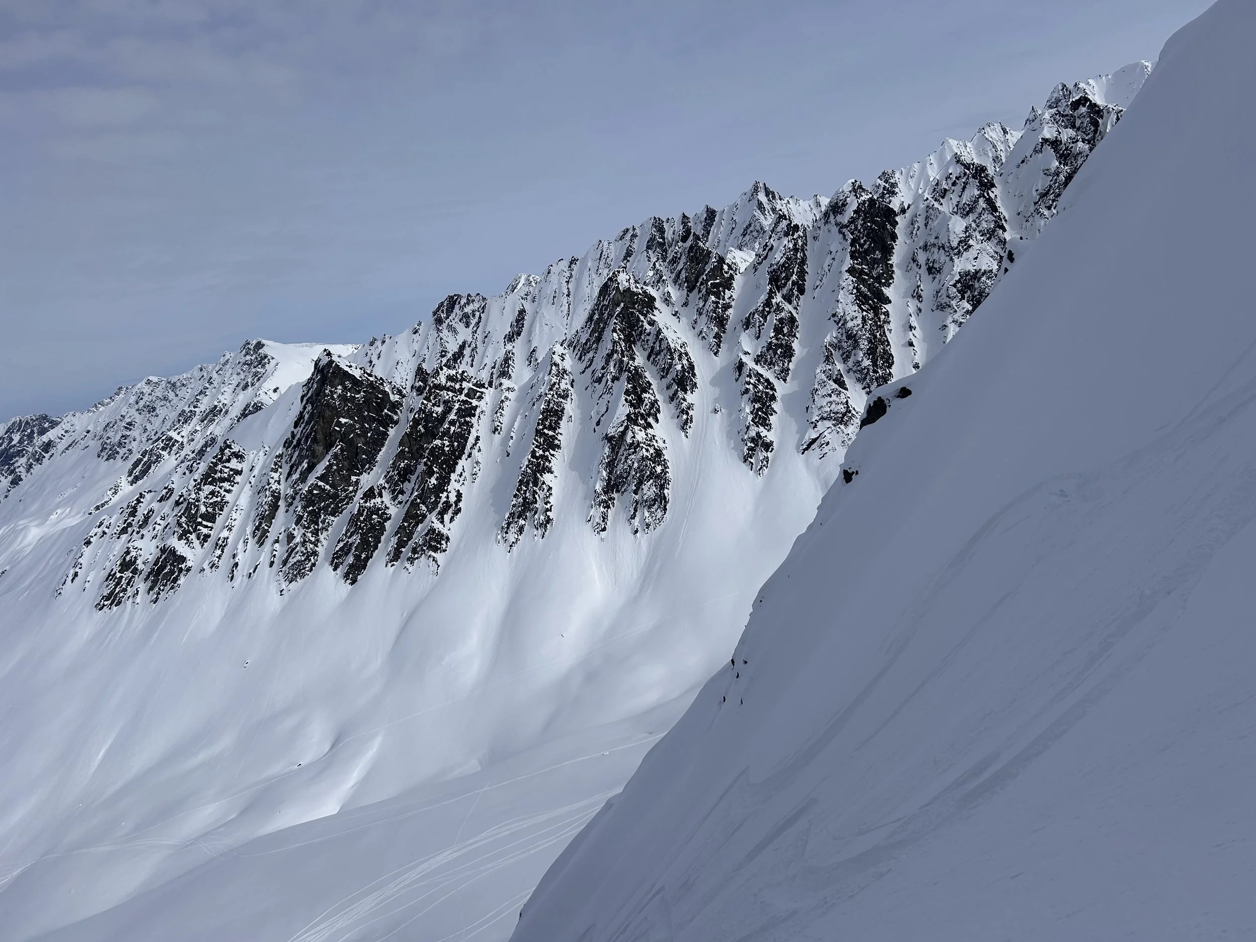
Ramps in the 40 mile area. Photo by Allison Sayer.
The SRPs contain 24 stipulations. These include human waste management requirements, prohibition on trailmaking or explosives, communication plans, safety plans, and fuel/spill management plans. There are also stipulations meant to protect wildlife, archaeology, and other resources.
The BLM-issued SRPs contain two stipulations meant to minimize conflicts between heli-skiers and other user groups including hikers and snowmachiners.
Stipulation 7 states: “Operators agree during flight to maintain a 2500-foot vertical and horizontal distance from all other user groups as weather and ceilings allow. If a user group is spotted traveling uphill OR downhill from a selected landing site or objective, a different landing site must be chosen to avoid the already-present user group. Operators agree, to the best of their aircrafts’ capabilities given weather and terrain, to avoid flying over the fall line of other user groups present on the ground.”
An additional stipulation, number 21, states: “Unless expressly stated, the SRP does not create an exclusive right of use of an area by the permittee. The permittee shall not interfere with other valid uses of the federal land by other users. The United States reserves the right to use any part of the area for any purpose.”
There are currently four operators seeking to renew their SRPs, and two operators seeking new permits in the area. The SRPs would be valid for ten years. Some reporting would be required to remain in good standing.
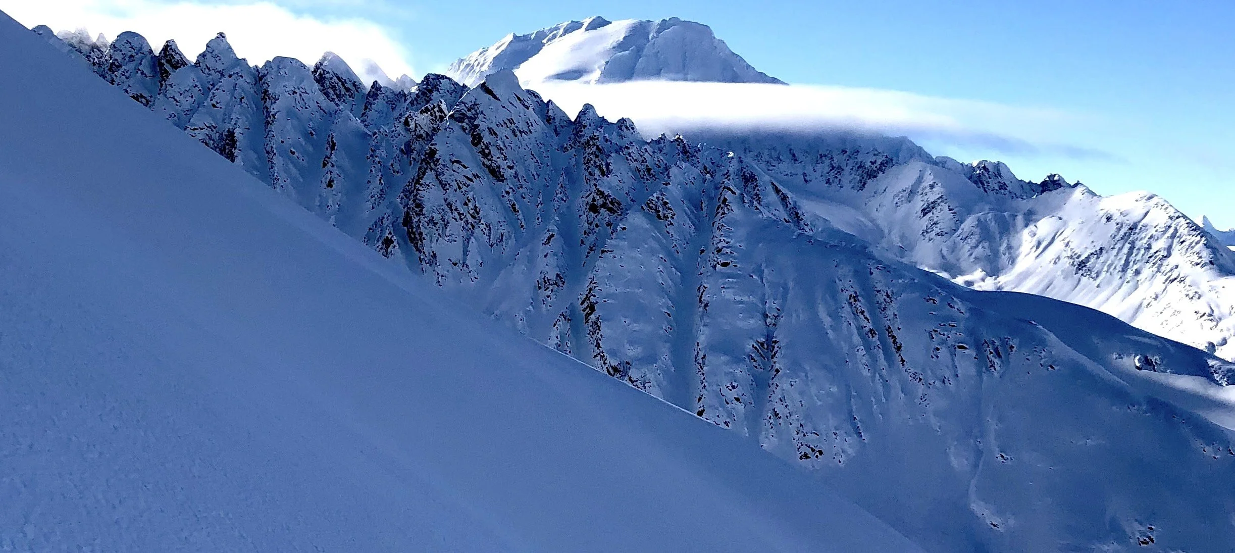
Ramps in the 40 mile area with a view of the Dimond. Photo by Allison Sayer.
A summary of public comments, maps, and the complete preliminary EA are available on the BLM eplanning website: https://eplanning.blm.gov/eplanning-ui/project/2031076/510
Disclosure: I am a backcountry skier who made a public comment in favor of Alternative C. I recognize it is an extreme privilege to participate in this sport.
I cover public land processes relevant to our area, and did not want to exclude this proposal due to my own bias. I did my best to lay out the alternatives proposed in the document as neutrally as possible, often directly quoting from BLM documents. I hope readers can read this article, review the materials provided by the BLM, and make their own decision as to whether to comment and in what manner. My goal as an editor is always to increase participation, regardless of whether that participation is in line with or in opposition to my private aims.